
Every Spring we get the predictions on how our rivers will hold up through the summer. The Conventional Wisdom states that a snowy winter will insure good river flows into the summer. Well, it may help but it doesn't insure it. For the Millers I remember the winters of 2001/2002 and 1992/1993. Unbelievable amounts of snow followed by bone crushing drought by late spring that lasted into the Fall. It took the life out of that river. The opposite has happened too as late as 2007/2008 with a mild, dry winter followed by a very wet summer. How do we know what the State Of Our Rivers are right now and what ground(water) has to be made up because of this drought?
The answer is easy. Follow these steps:
1. Go to the USGS stream section of this blog and click on a river.
2. Go to the upper right corner of the page to the "geographic area" window and hit "Massachusetts".
You have just entered the state wide river flow map for this state. You will see many colored dots.
Black means a historically high flow,
Green means an average flow
Orange means a below normal flow
Red means a very low flow.
You can click the colored dots to bring you to the page for that river. Of REAL importance is the MEDIAN FLOW line graph. It's basically a record of the average daily flow measured over decades and in some cases over a hundred years!!! Click around to your favorite rivers and the thing that you will see is that the CURRENT FLOW is lower than the MEDIAN (historical) flow. (tailwaters don't usually fit this model). The short answer is that we need some wet YEARS to make things up and some wet summers to keep the rivers from getting too low and warm.
I check this state wide chart many times during the week because certain weather events can have results that are only local. A thunderstorm may cause your stream to overflow but not effect a river 10 miles away.

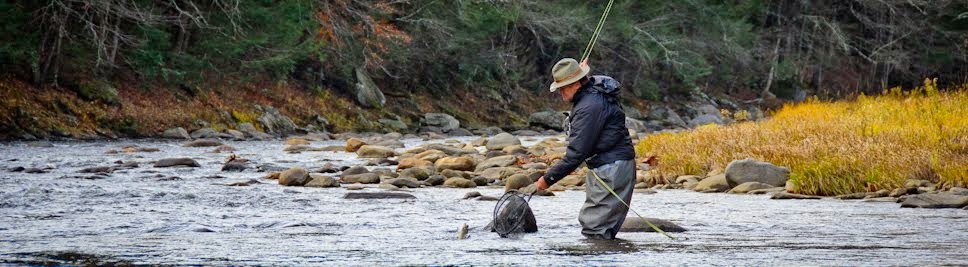
Here's a chance to fish a local river that's big enough to spend all day exploring, low enough to wade comfortably, seldom fished as everyone heads to the Swift and it just got stocked. Fish the Ware!!!!!
Here's a hint: Find the Airport!
Ken
9 comments:
Excellent thought on the state wide river mapping Ken. Thanks for that! It is amazing seeing how low rivers and streams are. Looked like we would have substantial rain and showers daily this coming week, now it looks drier... Hope that changes! We could use a year like, what was it... 2010 or 09 when it felt like it rained at least for a few hours every day from March through the middle of July...
Glad you are reminding folks of the Ware - it's a great river start to finish!
Be well
Will
Will,
2009 was wet!! Canoes on the Kempfield section in July!! I had to cancell half of my Millers trips. 2010 was the worst drought until last year.
Ken
Ken
Thanks for showing us how to work those graphs to get info on Ma. rivers. That will help with getting info on other states before vacation trips. I should fish the Ware too.
BW
Joe Gill
12:17 PM (7 hours ago)
to me
I would like to read your guide to fishing the Millers River.
Thanks.
Here you go Joe!!
Ken
Super interesting website! Thanks ken!
A little off this topic, Ken.
The last stretch of warm weather a few weeks ago, you suggested trying the Fort River near Amethyst Brook. I never made it out that weekend, unfortunately, but I was able to get out there this past Saturday. I decided to try a section a little south of your suggestion, between Rte. 9 and Stanley St in Amherst. It’s a pretty little river, with a few small deep pools, but not good trout habitat - very sandy bed with nary a rock or stone, at least in that section. I was out for about 4 fours before the cool weather and light sprinkles and lack of success forced me home. Definitely not a spot I'd visit again, at least for fishing.
However, I did enjoy casting my little 7 foot pre-Eponite Phillipson I picked up for a song a few weeks back. I’ll try a little north or south of that spot next time.
Kevj,
Go upstream my friend!
Ken
Thanks for sharing this wonderful post . It is important and very useful. Dubai Fishing Trips!
Post a Comment